Some location scenes used in the book
There are no invented locations in the book. All interactions take place within buildings, areas and localities that either still exist or once existed during the period covered in the novel. As you might expect, the effluxion of time has often had a material impact; buildings have been knocked down and replaced, and towns and cities have evolved to meet current needs. Fortunately, the early twentieth century saw the start of widespread photography and we have been left with a visual legacy which is able to provide us with a sense of what the environment once looked like.

Bradshaw Chapel, Bolton, in the 1920s. Almost unchanged a century later.
Two scenes of the Royal Oak in Bradshaw separated by about 25 years. Tonge Moor tram, identified by the ‘T’ and a 1935 photo showing preparation for traffic lights.


An early photograph of Trinity Street Railway Station in Bolton. Taken from a contemporary postcard


Top left – view over Bolton and into Manchester from Wayoh Fold. Top right – Wayoh Fold in 2018. Left – Wayoh Fold in the late 1920s. The cottage on the left was reconstructed in the early 2000s.
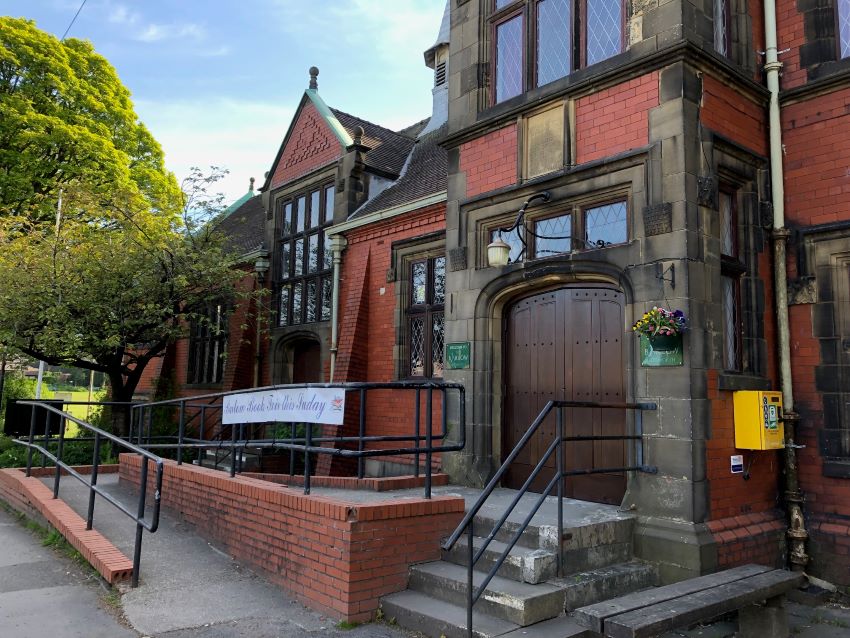
Below left – The Barlow, Edgworth (formerly ‘The Barlow Institute’). Below right – Nearby boating ‘lake’. The building still acts as a community centre but the lake has disappeared.


Town Hall and Victoria Square Bolton, early 1920s. Note the charabancs in the foreground.

The Civic Centre, Bolton, post WW2. Construction started in 1931 and completed in 1938. Now known as ‘Le Mans Crescent’, after Bolton’s twin town in France.

Churchgate, Bolton, looking towards Deansgate.
Deansgate, Bolton. 1936


Bradshawgate, Bolton. 1920s


